A Walk Along The Lancaster Canal

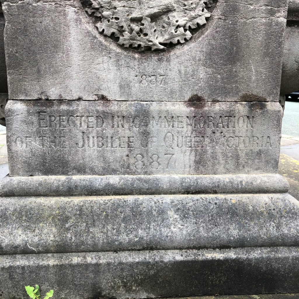
The cutting of the Lancaster Canal began around 1792 and the canal has always existed as two separate sections. The southern cutting ran from Aspull, in the south, to Walton Summit. The northern section ran from Preston to Kendal. The small section between Walton Summit and Preston, which required crossing the River Ribble, was never completed and a temporary tramroad was opened in 1803 to enable the transfer of cargo between Walton Summit and Preston.

The Southern Cutting

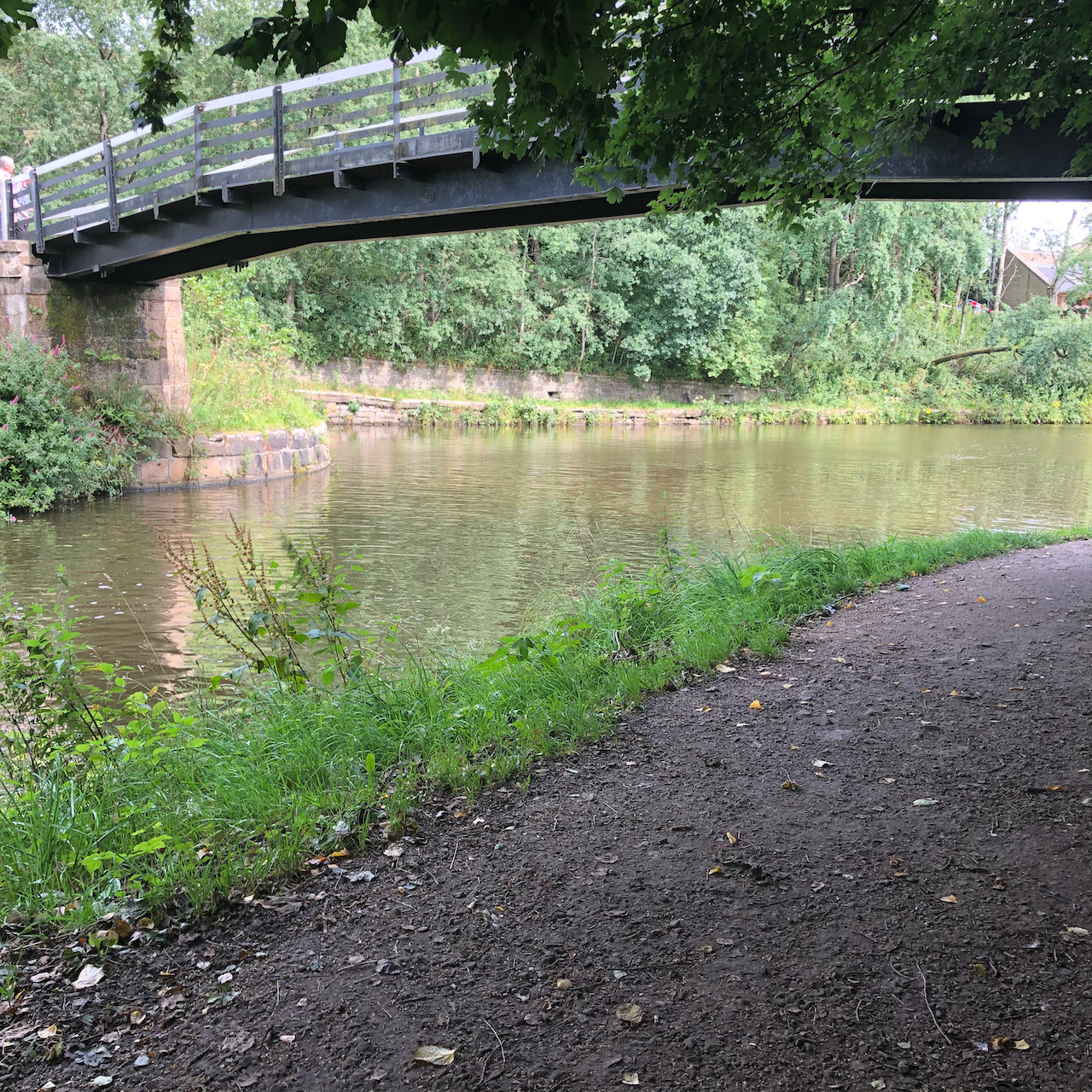
The southern cutting from Johnson’s Hillock to Bark Hill at Aspull became part of the Leeds and Liverpool Canal in 1810 and is still navigable today. At Johnson’s Hillock there is a short arm of the original Lancaster Canal running northwest from the wooden lock bridge to Town Lane.

The wooden lock footbridge at Johnson’s Hillock. The cutting behind the bridge to the right of the photograph is now the Leeds & Liverpool Canal which continues to the left also behind the bridge towards Blackburn. The cutting to the left is the Lancaster Canal running up towards Walton Summit.
The short cut of the Lancaster Canal from Johnson’s Hillock now ends where it reaches Town Lane.

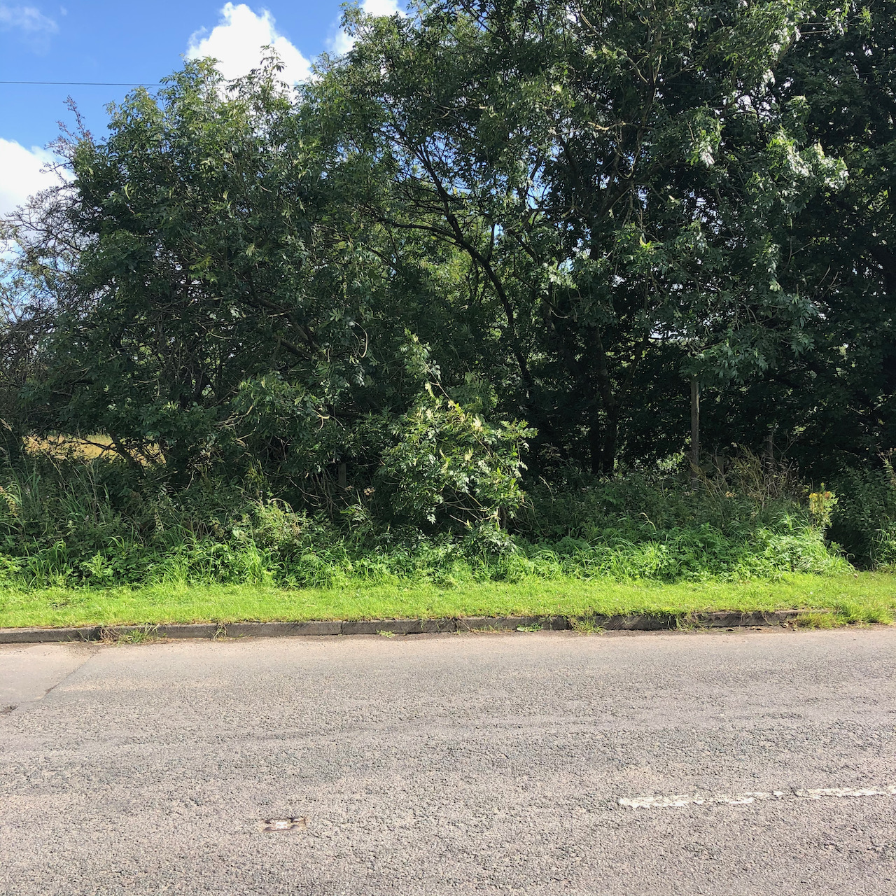
Almost all of the cut between here and Walton Summit was filled by rubble from the construction of the M61 motorway. Through lack of use and the significant cost of constructing bridges and tunnels to accommodate the motorway, it was decided in the 1960s to close this section of the canal. Only a few very short sections of the cut are visible along with the remains of a few bridges and basins.

A short section of the two Whittle Tunnels can be found deep in a cutting outside Whittle-le-Woods
Remains of the canal and Moss Bridge at Whittle-le-Woods.

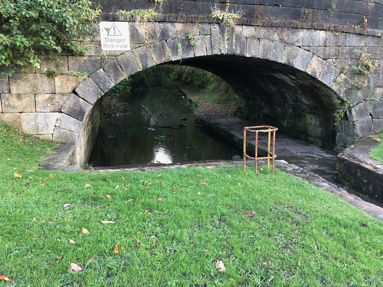
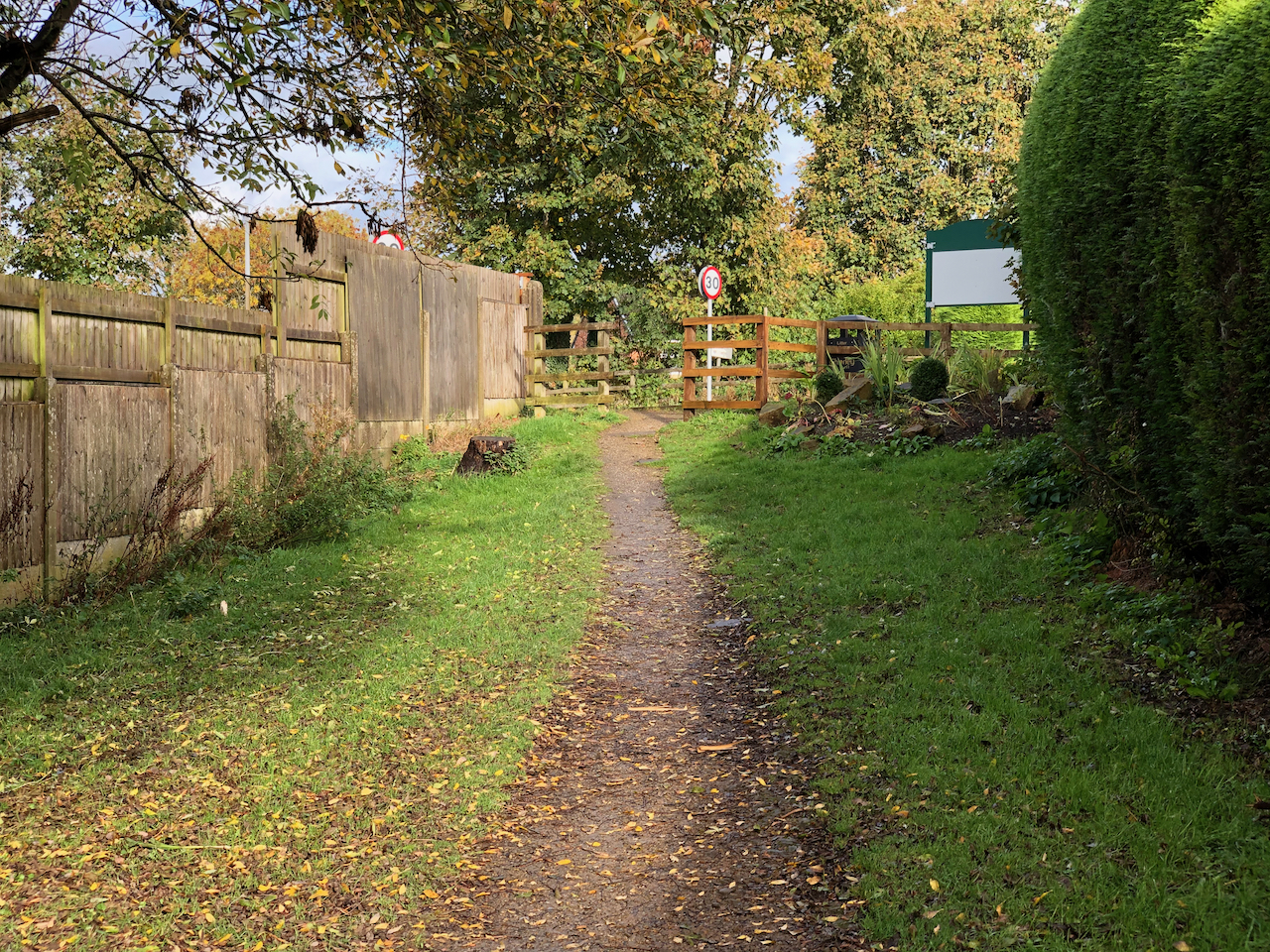
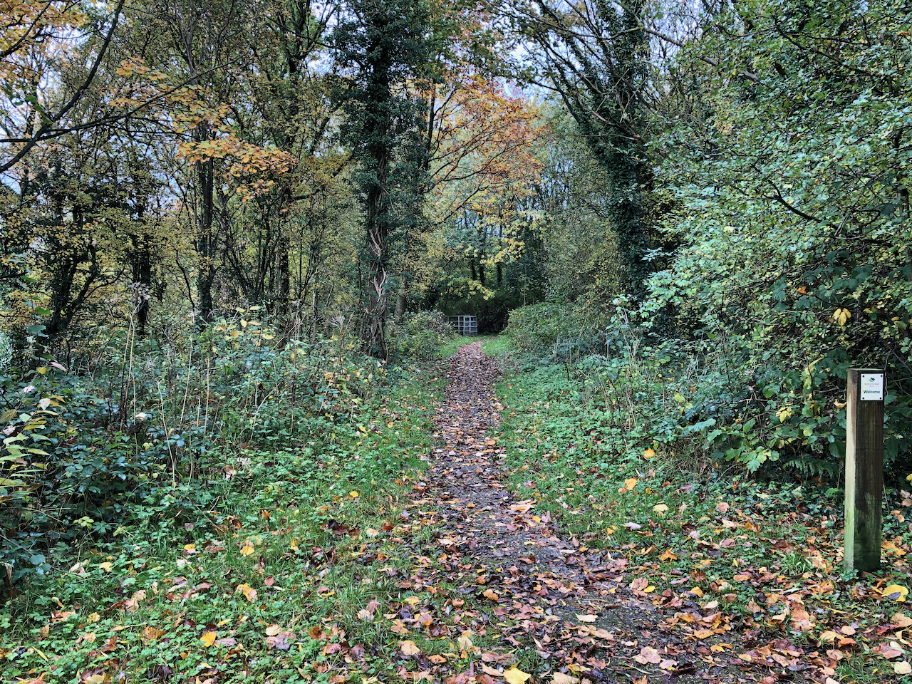
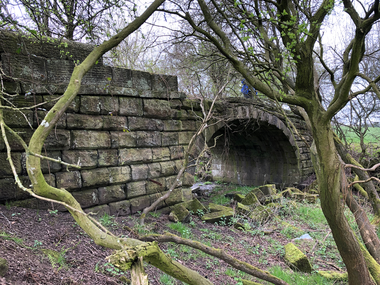
The two Whittle Tunnels and Moss Bridge can still be found in good condition at Whittle-le-Woods. Summit Bridge and White Bride stand in isolation in woods close to Walton Summit and can be accessed by a footpath that runs under the M61 motorway.

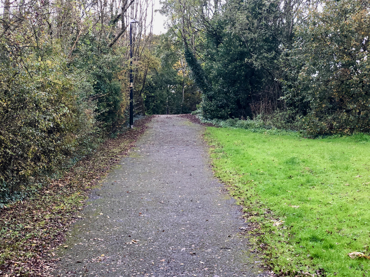
Footpaths can now be walked that follow the line of the canal cutting as we head north from Whittle Tunnels.

Site of the former Dog Inn Bridge.
Walking north along the course of the canal from Dog Inn Bridge
Site of the former Radburn Canal Bridge

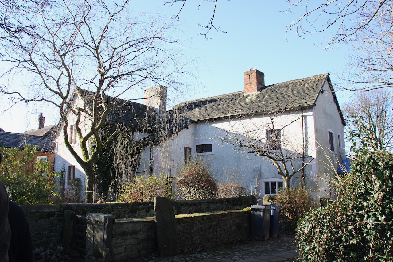
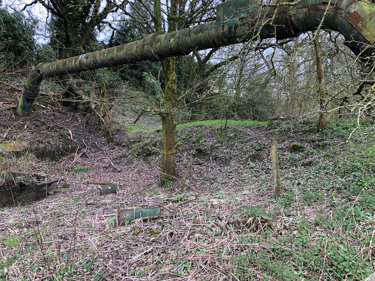
Following the former canal cutting as it passes between Brindle and Clayton Brook on its way to Walton Summit we come across the sites of White Bridge and Summit Bridge. White Bridge has been removed and replaced by a grass bank crossing the cutting. Summit Bridge stands isolated in woodland and crosses a muddy ditch.

The now filled in cut of the Lancaster Canal near to the site of White Bridge.
The remains of White Bridge.
The remains of Summit Bridge.

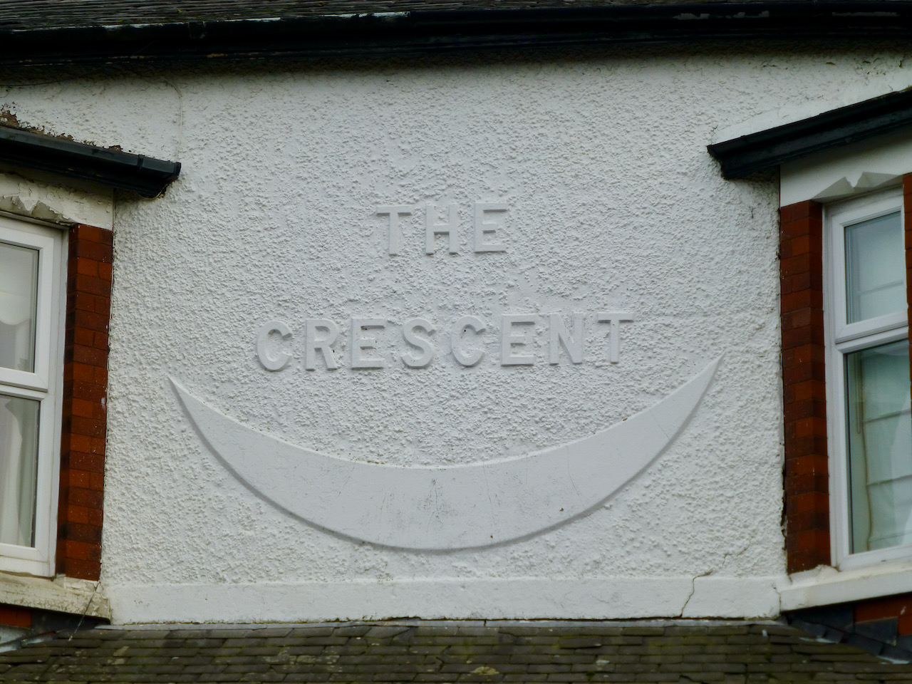
The Northern Cutting

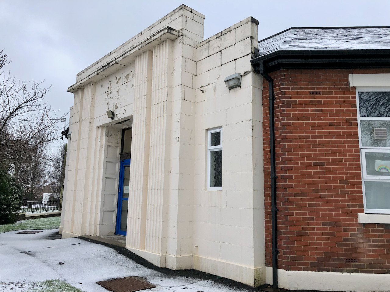
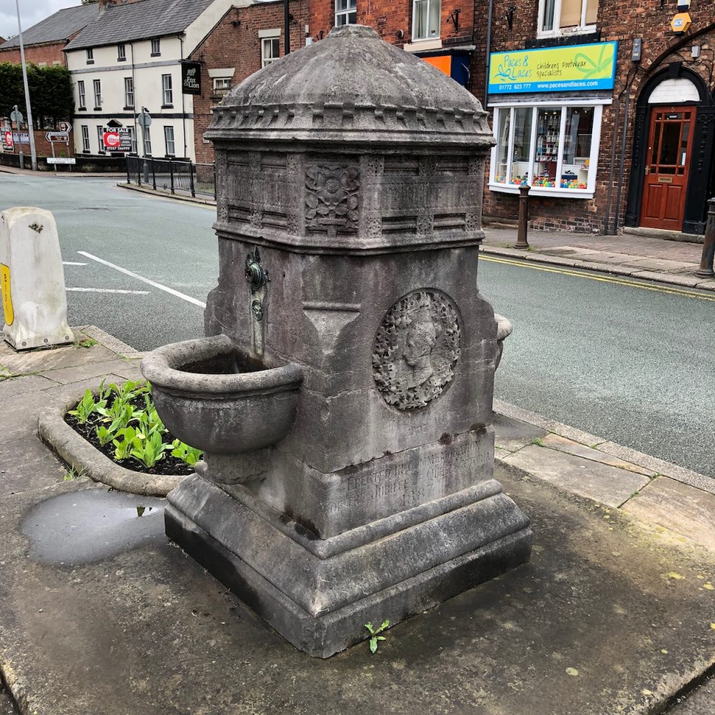
The northern cutting of the canal now starts at Maudlands, on the north west side of Preston, and can be navigated as far as Tewitfield.

The modern UCLAN student accommodation building is one of the warehouses that stood beside the basin near Corporation Street in Preston.

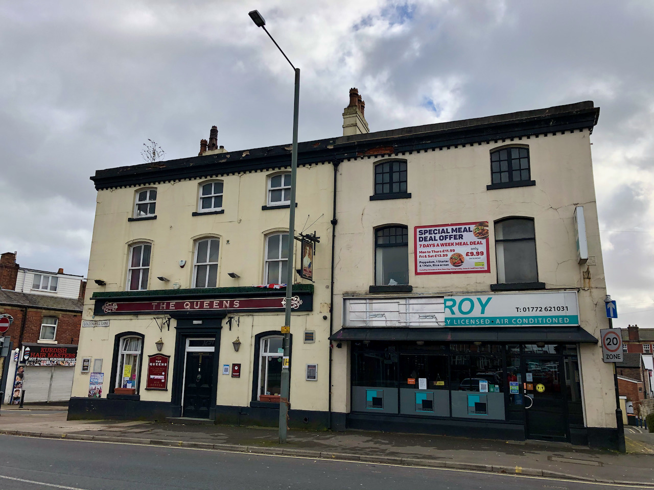
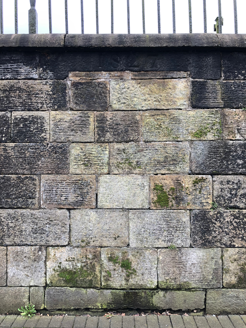
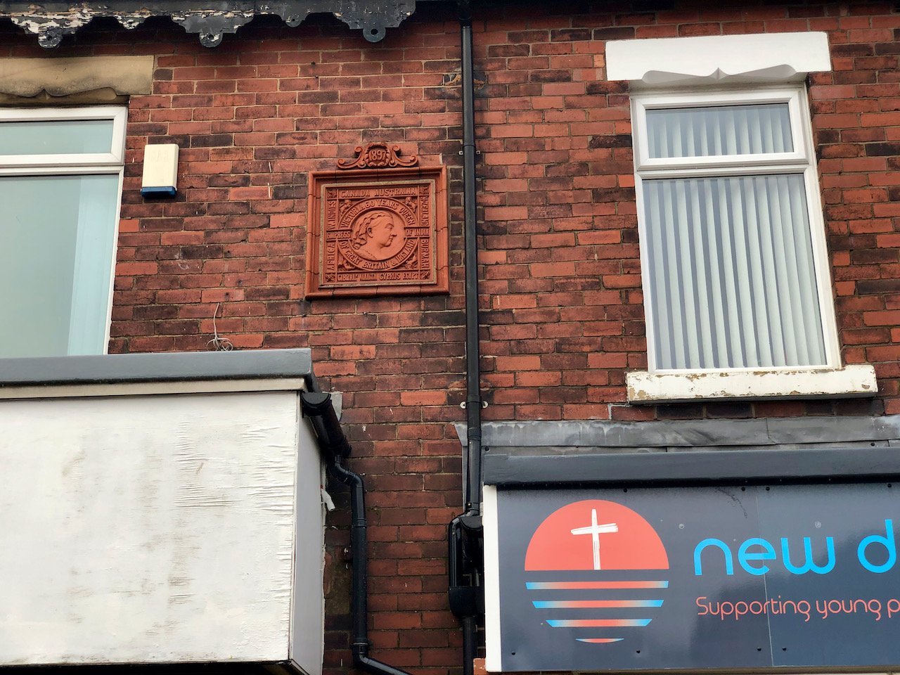
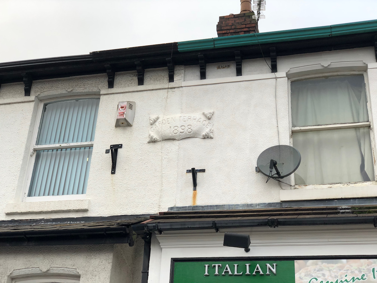
Originally, the canal ran as far south as the basin and coal yards on the southwest side of Corporation Street between Ladywell Street and Ring Way. Heading north towards Maudlands, there is no cutting visible as UCLAN have built over the land. However, there are still indications of a number of the bridges and banks to be seen.
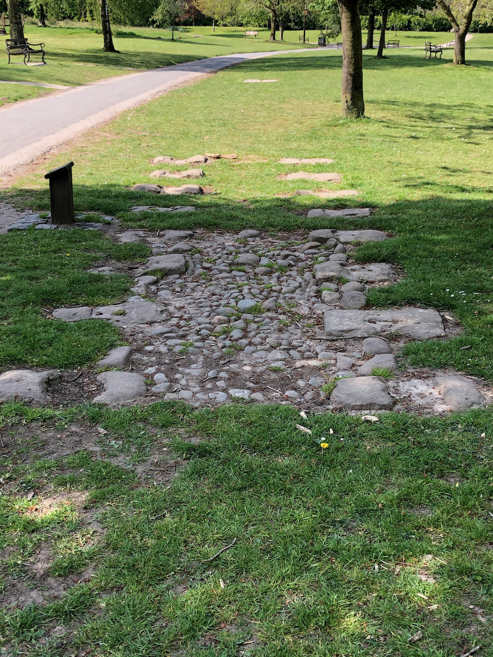
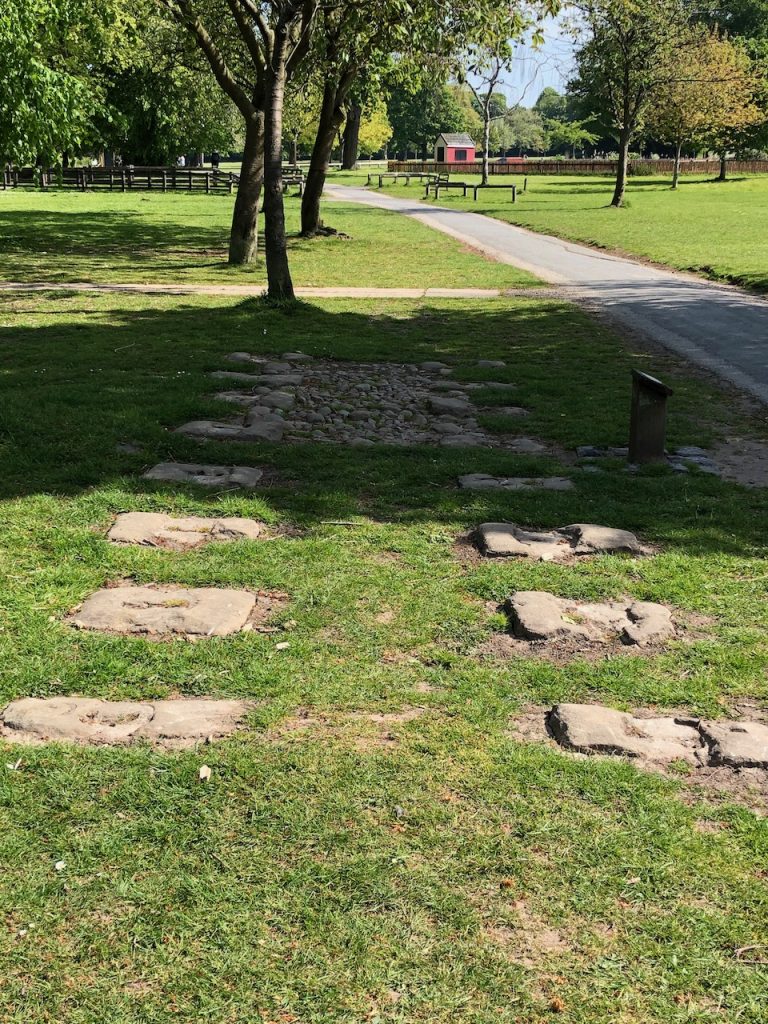
The Tramroad

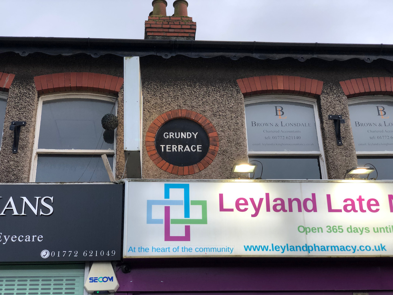
Signs of the tramroad can still be found at Walton Summit, in Preston city centre, and near to Walton-le-Dale where the course of the tramroad is used as a footpath. There is also a large trestle bridge crossing the River Ribble in Avenham Park, but this is currently closed. Two very small sections of the tramroad were excavated in Bamber Bridge and have been preserved at Worden Park in Leyland.

This is a section of the old tramroad that was excavated at Station Road in Bamber Bridge.

A Walk Along Golden Hill Lane

Golden Hill Lane runs east to west from the end of Station Brow in the east to Leyland Lane in the west where it becomes Longmeanygate. For most of its length, it is designated as the B5256. Much of the development along Golden Hill Lane is modern.

Our walk starts at the east end of Golden Hill Lane starting on the short stretch of road, Golden Hill. Looking at the 1848 1:10,560 Ordnance Survey map Golden Hill may have been the route to the level crossing – it’s difficult to be certain. Somewhere between 1848 and 1894, the level crossing was replaced by the modern man-made hill, Station Brow, and the bridge.

Coal Merchant’s Yard

This building has been used for many years as an office for local coal merchants. The 1848 1:10,560 Ordnance Survey map shows a coal yard in approximately this location, with a small number of associated buildings. The 1894 1:2,500 Ordnance Survey map shows this building and a small number of weighing machines outside.

The Former Police Station

The former and very impressive Police Station at the east end of Golden Hill Lane was built in 1882 to replace the Police Station that was on Towngate. It was significantly larger than the older building and had room for cells and a courthouse on the first floor. The building has recently been used as a police-station-themed Italian restaurant, but is currently vacant and is for sale. There is planning permission for nine elegant apartments.

The former Police Station on Golden Hill Lane.

The NatWest Bank

The modern NatWest bank stands on the site of the former Wesleyan Chapel that gave Chapel Brow its name. This ‘modern’ building dates to 1927, although the lower section built on the plot west of the bank was constructed in 1974.

The modern NatWest bank stands on the site of a former Wesleyan Chapel.

The Queens & The Viceroy

Built as one building around the mid 1850s, the building to the left has always been a public house. The building on the right, now The Viceroy, was originally The Leyland & Farington Co – op shop on Golden Hill Lane. A loading hoist can still be seen on the west side of the building in the small alley running towards Grundy Street. There are two iron support beams. The top beam has the words “Leyland & Farington” embossed into the ironwork. The lower beam, now covered by a shutter, is embossed “Co-operative Society”.

The Queens PH & Viceroy Restaurant

A Walk Along Chapel Brow

Although a very short road, Chapel Brow is full of history with the land behind the buildings on the west side being the former location of the Leyland Gas Works. Our walk starts at the southwest end of Chapel Brow, once known as gasworks corner, heading northeast to the junction with Golden Hill Lane, Golden Hill, and Station Brow and the NatWest bank.

The Lancashire Electric Power Company Sub-station.

The Electricity sub-station was built in 1925 by the Lancashire Electric Power Company (LEP). The LEP was formed under the provisions of the Lancashire Electric Power act of 1900 and supplied local towns with electricity until the late 1940s. The building next door, very much in keeping, was erected in 2011.

The Electricity sub-station was built in 1925 by the Lancashire Electric Power Company (LEP). The LEP was formed under the provisions of the Lancashire Electric Power act of 1900 and supplied local towns with electricity until the late 1940s. The building next door, very much in keeping, was erected in 2011.

The Leyland and Farrington Co-op building.

As can be seen easily from the date stone above the east windows, this very splendid brick-built building was erected in 1903. It was used as both a Co-op shop and as the head office for the Leyland and Farrington Co-op. Today, it is well known by many as Rimmers Music store and their music school.

As can be seen easily from the date stone, this splendid brick-built building was erected in 1903 and served as both a Co-op shop and as head office. Today, it is well known as Rimmers Music store and music school.

The NatWest Bank

The NatWest bank more strictly stands on the north side of Golden Hill Lane opposite the junction with Chapel Brow. However, I include it here as it is the site of the former Wesleyan Chapel from which Chapel Brow is named. The red brick with white stone section of the building dates to 1927 while to lower ‘extension’ which includes the main door, was built in 1974.

The modern NatWest bank stands on the site of the eponymous Wesleyan Chapel. This ‘modern’ building dates to 1927, although the lower section built on the plot west of the bank was constructed in 1974.

A Walk Along Sandy Lane

I have always found Sandy Lane interesting. Although most of the properties along it are relatively modern, the road itself does not follow the alignment of the other roads in the area. A few of the properties are significantly older. I suspect that Sandy Lane in a much earlier road associated with a much older Leyland.

The junction at the south end of Sandy Lane with Church Road is currently closed to traffic. Sandy Lane runs in a fairly straight line northeast to Broad Square and a junction with Balcarres Road. This is where Sandy Lane now ends. Older maps show that what is now Broad Square, Sandy Lane used to turn to the north and follow what is now Balcarres Road passing “Old Hall” to a junction with Turpin Green Lane. Opposite “Old Hall” was a stone cross and a large pond which occupied the modern area of Balcarres Green (the Spider Park) and King Street. This change, I suspect, is connected with the building of the “Garden Village” which started in the 1920s.

Our walk starts at the southern end of Church Street and St Andrew’s Church.

St Andrew’s Church Wall

Although this is not strictly in Sandy Lane, I think it is worth pointing out the following. In the wall of Saint Andrew’s churchyard are the remains of an early opening for a pathway leading via steps into the churchyard. We noticed this from an early map showing the area. The datestone above on the lintel reads 1827.

The Crescent

The Crescent at the end of Sandy Lane was built around 1916. I haven’t been able to find a more precise date. Planning approval for the building of these houses was granted in December 1908.

The / Crescent. A row of houses built c. 1916. The current offices at the Church Road end were once used as a private school.

Victoria Terrace

Victoria Terrace.

Merlyn House

Although technically in Pembroke Place rather than Sandy Lane Merlyn House is the former surgery and house of Doctor Cank during the 1930s. The house was originally called Sergeant House but was renamed when Doctor Cyril Meredith Wilmott and Evelyn Berry moved in after their marriage.

In the 1930s this was the home for a local doctor who held his surgery in the small annex that can still be seen to the left of the picture.

Bankfield 1889

Bankfield / 1889

Prospect House

Prospect House is one of nine pre 1893 buildings on Sandy Lane.

Originally home to the Berry family, Prospect House is now used for meetings, dance school, and a polling station.

The Leyland Motors Day Continuation School

The Leyland Motors Day Continuation School was opened in the 1930s and was in use until its closure in the 1970s. It was used for young employees of Leyland Motors and provided a continuation of education. More recently this building is now home to Broadoaks Child Development Centre.

The Leyland Motors Day Continuation School – West Side
The Leyland Motors Day Continuation School – Main Entrance

Charnock Hall

Grade II listed Charnock or Old Hall. The current hall was built in 1660 by Roger Charnock, a Roman Catholic priest. Above the door is a coat of arms inscribed,  “IHS AM RC 16 60”. Today the hall has been converted into two houses. The names “Blacklache Hall” & “Leyland Hall” have also been used in the past.

Speculation: IHS is a common Christogram and is frequently interpreted as “Jesus Our Savior”. RC would be Roger Charnock. AM is unknown at present. 1660 would be the year built.

Charnock Hall or Old Hall stands beside the junction of Balcarres Road, formerly Sandy Lane, and King Street.

A Walk Along Hough Lane & Towngate

There are lots of interesting reminders of Leyland past as you walk along Hough Lane and Towngate. We start at the north east end of Hough Lane and head south west.

Hough Lane

Lower Bank House is large town house built in 1892 for one of Leyland’s industrialists. Today it is used as Lower Bank Dental Surgery.

Lower Bank.
Is this the former office of Moulds Printers? The window is significant of something.
Wellington View. / Erected in 1897. / In the 60th year of / Queen Victoria’s reign.
Hope Terrace / E. 1907 C.

Grundy Terrace was formerly known as Mindor Terrace. It became Grundy’s dental surgery which is when the terrace took on the name it has today. I have read lots of posts on Facebook suggesting that Mr Grundy may have been “overzealous” in his treatments. The large window, above the silver car in the photograph, in the end wall is reputed to be one of the surgery windows.

Grundy Terrace. A former detal surgery.
Grundy / Terrace. A former detal surgery.
In 1887 and 1897, Stanley Brothers designed a special plaque to commemorate the milestone years on the throne for Queen Victoria. Houses built using Stanley Brothers bricks had the chance to have one of these terracotta commemorative plaques.
The first public house on this site dates back to the early 1730s. The current building dates back to the early 20th century was used by Dr Walter Johnson. After his death it was converted into a public house. Pressure from the Covid-19 pandemic has currently closed the business.

Water Street & Towngate

Reaching the western end of Hough Lane, we now turn south into Towngate. The northern end of Towngate from Hough Lane to Mrs Jolly’s Corner (the junction with Broad Street near Garden Terrace) was originally called Water Street; with the southern end of Towngate being called Chapel Street.

Methuen / 1902 / Terrace.
Williams Deacon’s Bank on the corner of Malden Street and Towngate. The word “DEACON’S” can still be read in Malden Street.

James Sumner began experimenting here with steam locomotion in the early 1890s. This led to the production of a steam-powered lawn mower leading to the formation of the Lancashire Steam Motor Company in 1896. Later, the building became George Damp & Sons Ltd, an engineering blacksmith. As you can see from the plaque, the Lancashire Steam Motor Company later became Leyland Motors and then Leyland Trucks.

James Sumner and The Spurrier Family forge site on Towngate.
Gordon / 18 AD 87 / Terrace.
Broad Bank / M / J & S / 1897

Known by many local people as Mrs Jolly’s Corner. Mrs Jolly had a small sweet shop here. On the south west face, currently a Barber Shop, is a plaque with a 1907 date.

This was the site of Mrs Jolly’s sweet shop.
The house on Jolly’s Corner has a plaque which reads J.R.H.P. / 1907

CETL: Chorley Electrica.l Around 1800 the “The Sun” Public House stood on this site. After changing names to “The Shoemakers” or “The Cordwainers Arms”, it became known as “Bannisters Ship Inn” by the early 1820s. Prior to being used by “Chorley Electrical” it was “The Original Ship”.

Now Chorley Electrical, there has been a Public House on this site since c. 1800.
Garden Terrace / 1898

The old Constabulary Station was built c. 1857 and its two cells were used until 1882 when the larger Police Station was built on Golden Hill Lane. From the 1930s the building was used as Leyland’s Library until the current library was built in the mid 70s.

Constabulary Station.
Leyland & Farington Coop. Towngate shop.

Most of Towngate between here and the top of Fox Lane has been demolished. The land is currently used by Tesco. The planters outside the arcade of shops between Tesco and Leyland Cross and the Drinking Well mark the approximate location of the junction of Towngate with the now long demolish Cow Lane. Cow Lane, like Sandy Lane, is another road does did not match with the modern structure of Leyland.

Darwen Tramways Department

Very little evidence remains of the steam trams that operated in Darwen in the late 1890s and early 1900s. So far, I have only been able to locate the two waiting rooms, one for the ladies and one for the gentlemen, adjacent to each other on Belgrade Square near The Circus and the original turning triangle (steam trams could only run in one direction) to the south along Bolton Road.

Based on size and an external staircase shown on early maps beside the north building, my suspicion is that the southern waiting room (first picture below and adjacent to Belgrave Road) is the Ladies’ waiting room.

Borough of Darwen / Tramways / Department / Erected 1902 / The Local Board leased the square from James Greenway for 999 years from 2nd December 1867. It became the boarding point for the steam tramway which commenced in 1881; this was then the widest part of the road in the town centre to take double not single track. The Tramway Company was requested to build waiting rooms, and did in fact produce plans. When the Corporation took over they built waiting rooms and underground toilets, designed by the Borough Engineer, R.W. Smith-Saville, which opened in January 1903. The ladies’ waiting room had an internal entrance to the toilets, whilst the gentlemen had an external entrance. At the rear of the gentlemen’s waiting room was a parcels’ office for the tramway. The office closed in 1939, the toilets in 1988.
The Local Board leased the square from James Greenway for 999 years from 2nd December 1867. It became the boarding point for the steam tramway which commenced in 1881; this was then the widest part of the road in the town centre to take double not single track. The Tramway Company was requested to build waiting rooms, and did in fact produce plans. When the Corporation took over they built waiting rooms and underground toilets, designed by the Borough Engineer, R.W. Smith-Saville, which opened in January 1903. The ladies’ waiting room had an internal entrance to the toilets, whilst the gentlemen had an external entrance. At the rear of the gentlemen’s waiting room was a parcels’ office for the tramway. The office closed in 1939, the toilets in 1988.
This was in use from 5th December 1881 until 30th November 1900. It marked the southern end of the first steam-powered tramway authorised to run along a public highway. The line from Darwen Circus to St. Peter Street, Blackburn opened on 14th April 1881, and was later extended to this terminus. It was declared an ancient monument in 1977.

The Worden Park Obelisk

Now situated at Churchtown, Southport, Mersyside this 18 century commemorative obelisk was formerly at Worden Hall, Leyland. Following the fire at Worden Hall the obelisk was sold around 1948 to Colonel Roger Fleetwood Hesketh of Meols Hall and placed here in 1950. It is made from dressed gritstone blocks, of square section. The pedestal is c. 2m high, with a chamfered base, one broad band and a cavetto-moulded cornice with a worn inscription running round the east, north and west sides: Rebuilt in Commemoration of the Glorious illegible.

The Preston Workers’ Memorial

At the north end of Lune Street just south of the modern ring road is this striking memorial. It is dedicated by the trades union of Preston to the memory of all workers worldwide who are killed, injured, suffer ill health or detriment as a consequence of work. Remember the dead, fight for the living.

In Lune Street, Preston, four workers were shot and killed by the military during the general strike of 1842. Several thousand Preston workers were demonstrating against wage cuts , and for the ‘charter’ of democratic rights.

Bronze tablet on memorial.

Remember, Remember, People of proud Preston that progress towards justice and democracy had not been achieved without great sacrifice.

Remember, Remember, People of proud Preston defend vigorously the rights given to you. Strive to enhance the rights of those who follow.

Second bronze tablet on memorial.