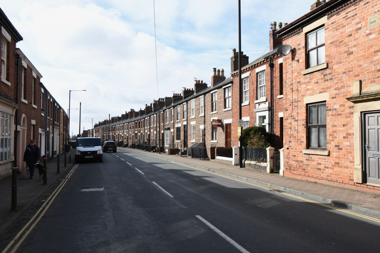
Fox Lane is one of the early roads in Leyland and today it links Severn Stars with Towngate. On the 1844 Village Plan it is named Liverpool Road, but the 1830 and subsequent Ordnance Survey maps name it as Union Street. By 1890 the eastern end was known as Union Street as far west as the alms houses, the centre section was Fox Lane, and the western end around Seven Stars was named Brook Street.
All the older buildings are at either the eastern end, Union Street, or the western end, Brook Street. All the centre section is modern build.
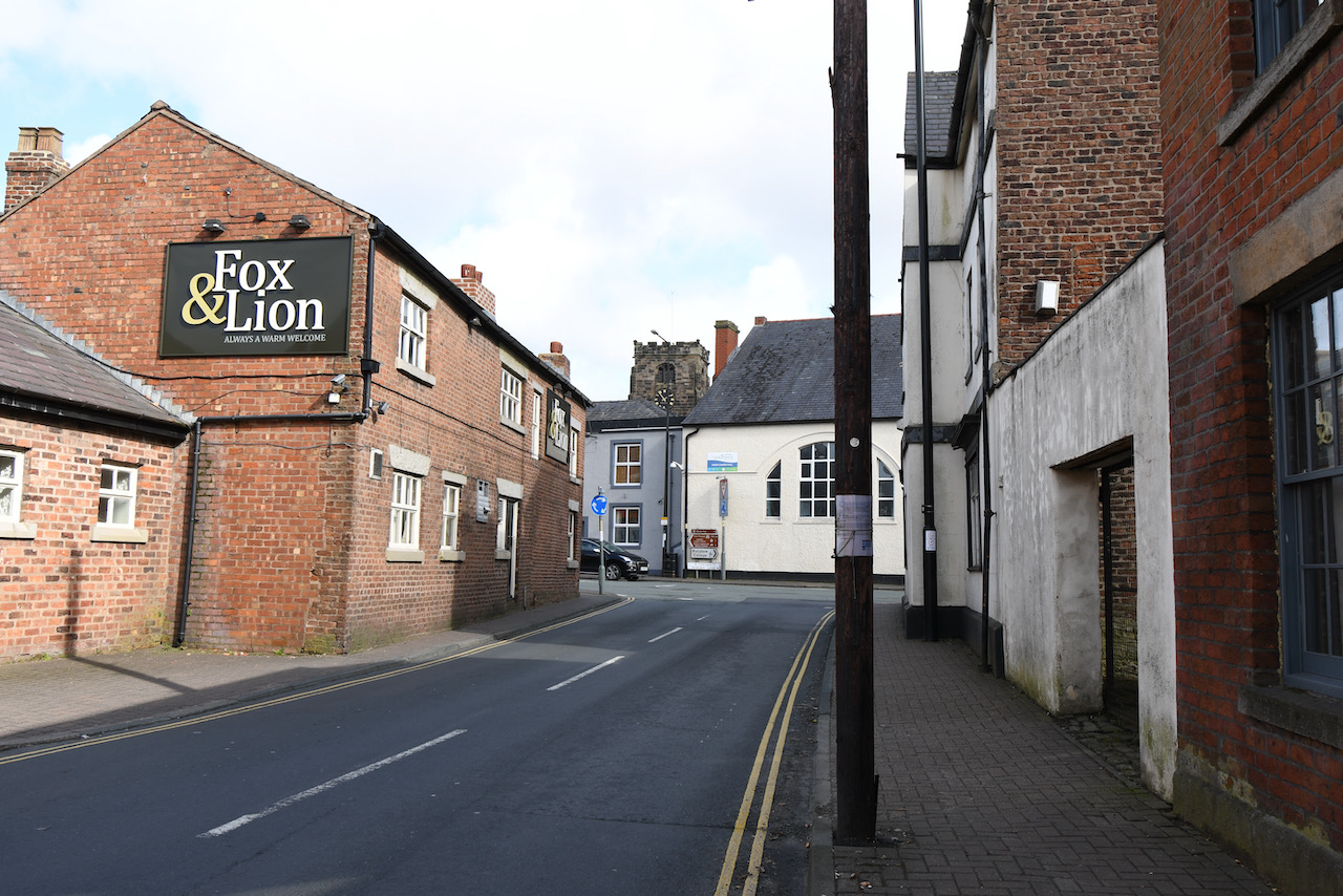
Our walk commences outside the Fox & Lion at the eastern end of Fox Lane.
The Fox & Lion
Looking east from the top of Fox Lane towards St Andrew’s Parish Church. The Fox & Lion was originally a row of cottages and was converted to a public house called The Ring O’ Bells. Sometime around the 1800s, the name was changed to Bay Horse. The Georgian look to the east front of building is fake.
Former Shops
Originally constructed as houses, these were converted to shops and are currently derelict. They have recently been sold …

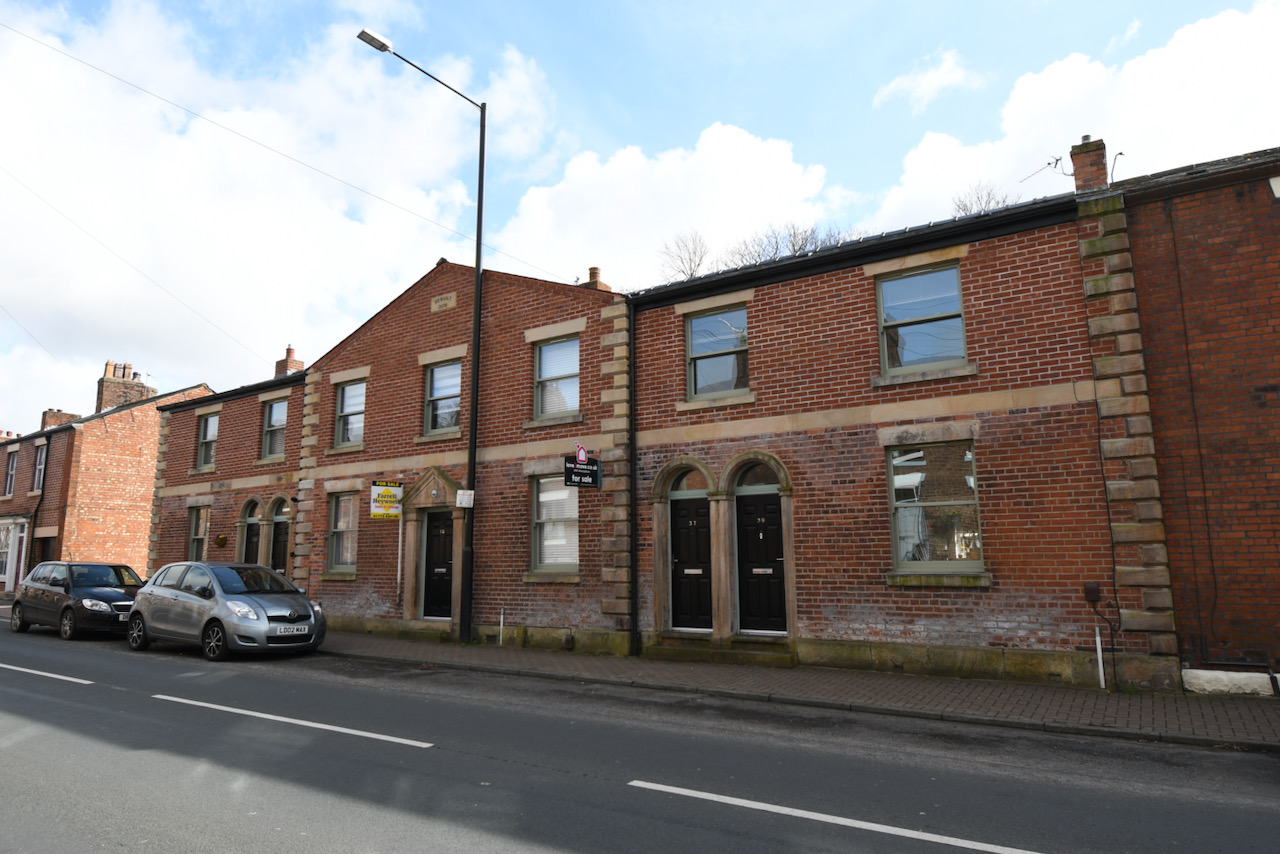
The Step Houses
A terrace of twenty-six brick-built cottages used by hand loom weavers. Originally known as the Friendly Society Houses, they are built around 1801.
The Former National School
Details to be added.